Permafrost is soil or rock that remains at or below 0°C for at least two years. Approximately 50% of Canada has permafrost beneath the surface, ranging from a few metres thick in the subarctic to several hundred metres thick in the high arctic. It is an important piece of the northern Canadian landscape.
Why is it important?
Permafrost is thawing in response to the environmental impacts of human activity and climate change. This thawing causes ground instability and disturbs drainage patterns, leading to complications in nature and infrastructure. Knowledge of current conditions and the probability for increased warming is essential for:
preserving ecosystems, lifestyles, livelihoods, and economies,
planning and construction of buildings, roads, airports, dams, pipelines, and electrical transmission towers,
mitigating the release of CO2 and CH4 emissions into the atmosphere,
making informed decisions in resource and land management.
Our Contributors
Permafrost Resources by Province/Territory
Select a province or territory to display provincial/territorial resources.
Discover the implications of permafrost across contributing territories in Canada.
What’s Next?
The development of our permafrost theme is ongoing. We are aiming to have contributions from each of Canada’s provinces and territories, ensuring this information is as accessible as possible.
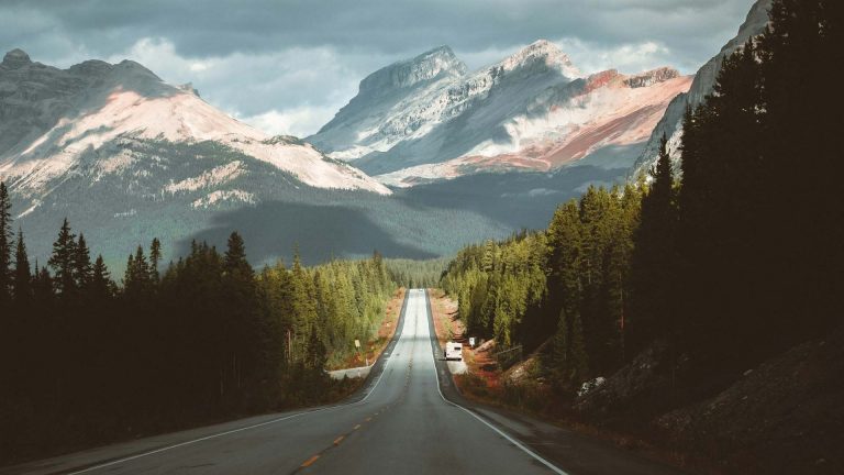
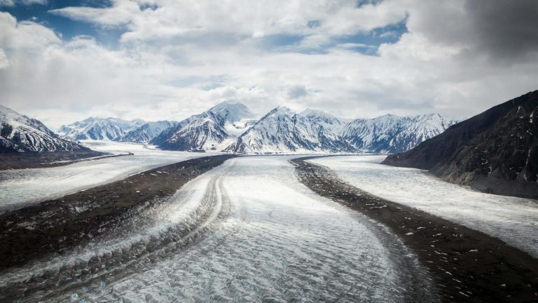
Permafrost is present where the climate is cold but the surface is not covered by glaciers. It is found across the North and at high elevations in mountainous areas such as the Rocky Mountains in western Canada and the Chic-Choc Mountains in the East.