Date modified: 2025-03-19
Share this page:

Open data. Applications. Maps. And more. Discover it all on GEO.ca, along with the tools you need to visualize, analyze and share the insights you create. Unlock the power of location here.
Share your insights to help shape how geospatial data is managed, shared and used across the country.
Lorem ipsum dolor sit amet, consectetur adipiscing elit, sed do eiusmod tempor incididunt ut labore et dolore magna aliqua. Ut enim ad minim veniam, quis nostrud exercitation. You can also read more GEO news here.

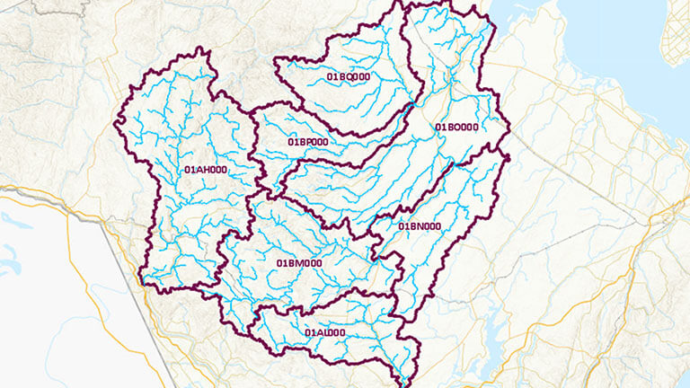
Canadian federal, provincial and territorial government geospatial data providers collaborate to provide tools and resources to help Canadians plan and prepare for floods.
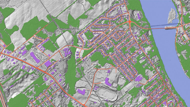
Discover the GeoAI Data Series, the time enabled geospatial features created using artificial intelligence (AI).
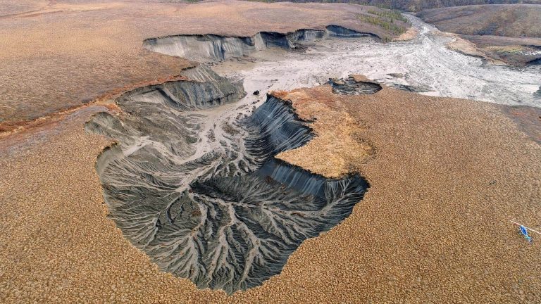
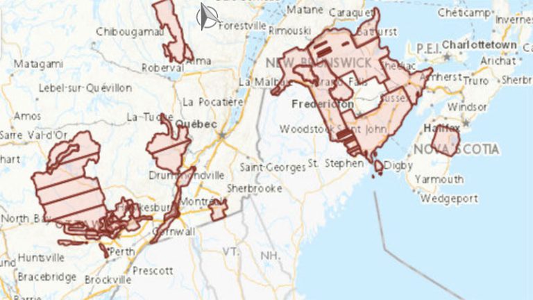
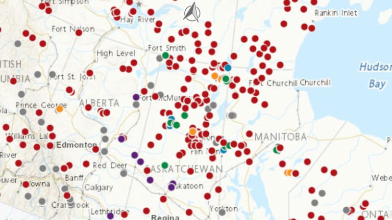
A central hub for permafrost information in Canada. Featuring data and tools from contributing provinces and territories.
Lorem ipsum dolor sit amet, consectetur adipiscing elit, sed do eiusmod tempor incididunt ut labore et dolore magna aliqua. Ut enim ad minim veniam, quis nostrud exercitation. You can also find more initiatives here.

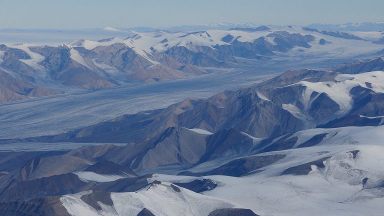
Discover Arctic geographic data through this collaborative partner-based effort of the National Mapping Agencies of the Arctic.
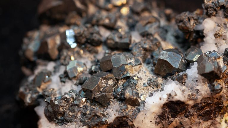
Discover tools and resources to help strengthen the supply chains of critical minerals.
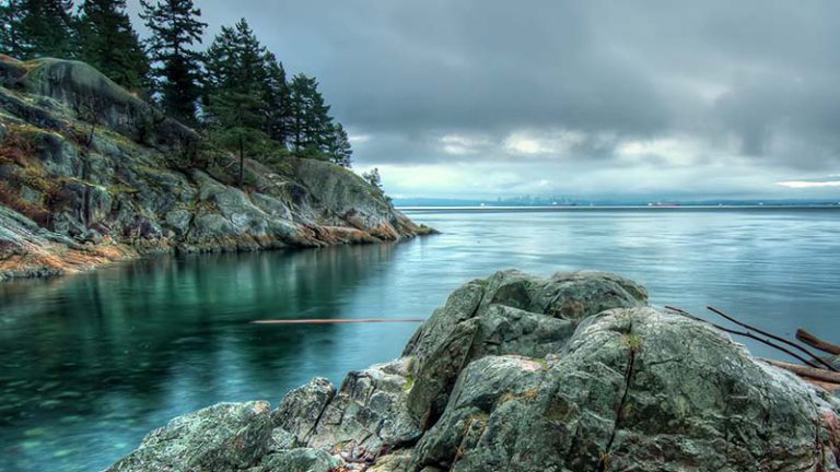
The GeoBase initiative provides access to, national geospatial foundational data for Canada’s land, water, and infrastructure.
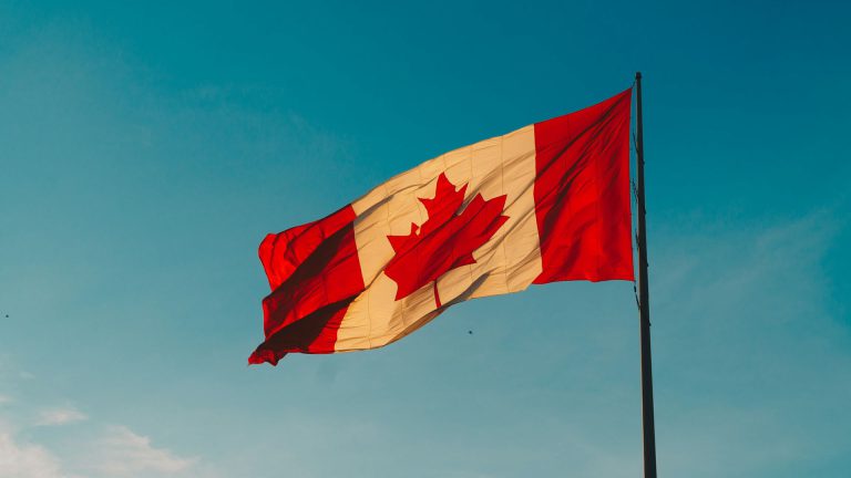
A User Needs Assessment (UNA) for the Canadian Geospatial Data Infrastructure (CGDI) was conducted to understand Canadian user requirements, including those of Indigenous organizations, and curated data products were developed to address them.
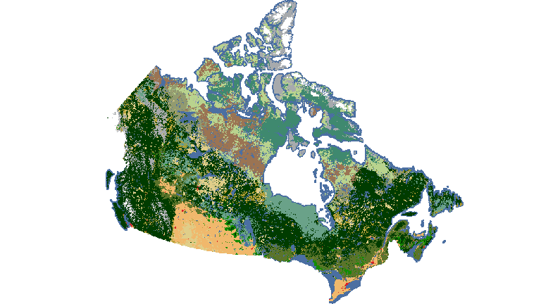
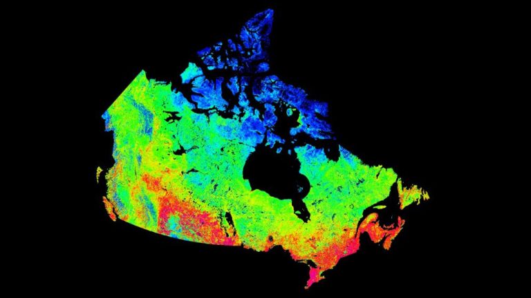
Mapping products derived from satellite imagery depict Canada’s vast landscapes, such as land cover, water resources, snow and ice extent, vegetation cover indicators and more.
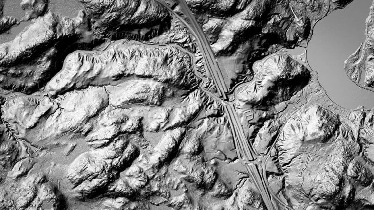
Foundation data represents the core features of Canada’s land, water and infrastructure. Discover them here. You can find more foundation data here.
Explore our extensive map gallery. See what’s possible. Reuse what’s already been created. Get inspired. Create and share your own custom map! You can also explore the entire map gallery here.
Lorem ipsum dolor sit amet, consectetur adipiscing elit. Vestibulum mollis nunc a molestie dictum. Mauris venenatis, felis scelerisque aliquet lacinia, nulla nisi venenatis odio. Please provide provide your feedback here.
Share this page:
Canada Centre for Mapping and Earth Observation
Natural Resources Canada
Government of Canada
geo@nrcan-rncan.gc.ca
Terms and Conditions
Powered by GEO.ca, Copyright © 2026
GEO.ca is part of the Canadian Geospatial Data Infrastructure (CGDI)