Date modified: 2025-03-03
Share this page:
Home / Flood Mapping / Learn About
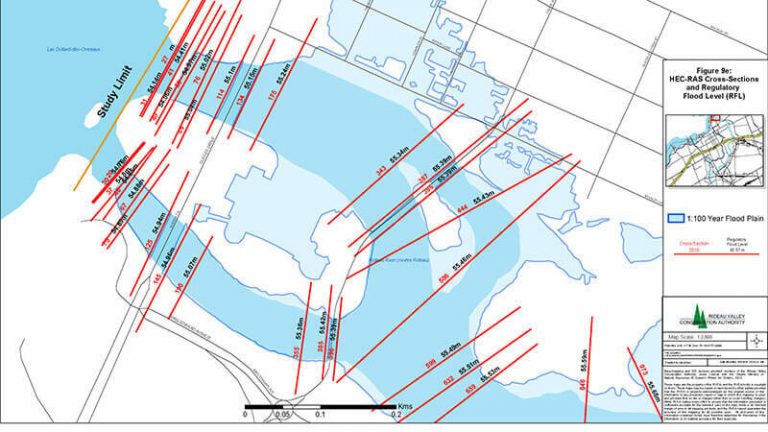
Flood maps are critical tools that can help us identify potential risks and mitigate flood impacts.
Flood maps show an area that may be covered by water, or show where the water reaches during a specific flood event. It takes a lot of steps and expertise to produce a flood map.

Learn about the impacts of flooding and what flood mapping is, who is involved, services and information, and more.
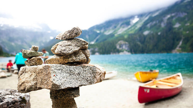
Discover the roles and resources of flood mapping and the involvement of various federal departments.
Find more information on flood maps, related data and best practices.

Read the series of evergreen flood mapping best practices that strengthen flood mapping activities across the country.
Explore an archive of locations where some of the largest floods have taken place in recent Canadian history.
Lorem ipsum dolor sit amet, consectetur adipiscing elit. Vestibulum mollis nunc a molestie dictum. Mauris venenatis, felis scelerisque aliquet lacinia, nulla nisi venenatis odio. Please provide provide your feedback here.
Share this page:
Canada Centre for Mapping and Earth Observation
Natural Resources Canada
Government of Canada
geo@nrcan-rncan.gc.ca
Terms and Conditions
Powered by GEO.ca, Copyright © 2026
GEO.ca is part of the Canadian Geospatial Data Infrastructure (CGDI)